
Cultural & Archaeological Survey Services
Cultural and Archaeological Detection with Airborne Radar Technology
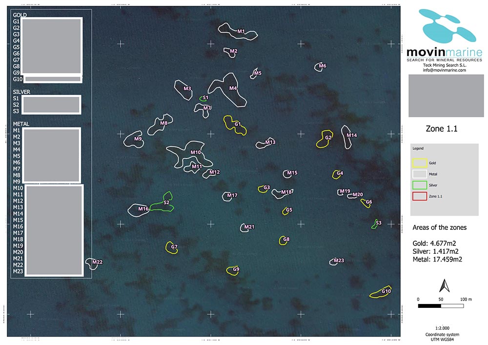
Precise Location of Shipwrecks, Archaeological Sites and Buried Structures
Precise Location of Shipwrecks, Archaeological Sites and Buried Structures
Modern cultural and archaeological investigation requires technologies capable of surveying extensive land and seabed areas without disturbing cultural heritage or natural environments.
Movin’Marine provides advanced historical prospection services using the M2® Airborne Radar system — a passive electromagnetic technology designed to identify subsurface anomalies associated with archaeological remains, buried structures and historic shipwrecks, both on land and underwater.
Non-Invasive Technology for Cultural Heritage Detection
The M2® system detects variations in subsurface electrical conductivity and physical properties that may be linked to ancient constructions, cavities, submerged ports or sunken vessels.
Unlike traditional excavation or intrusive survey campaigns, this airborne approach enables preliminary assessments without excavation, dredging or environmental disturbance.
This airborne geophysical approach is particularly effective for:
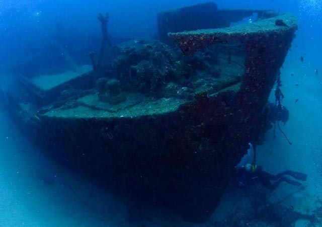
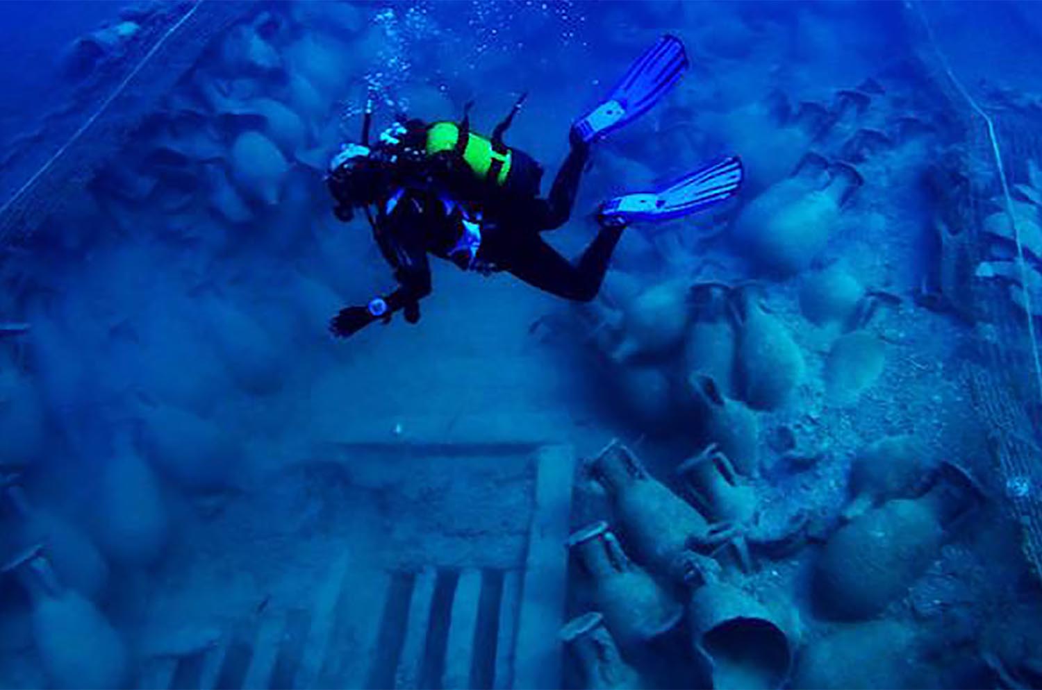
- Historic shipwreck and galleon detection
- Location of submerged ports and coastal structures
- Identification of terrestrial archaeological sites
- Detection of cavities, tunnels and buried constructions
- Preliminary surveys supporting historical research projects
High-Precision Onshore and Offshore Exploration
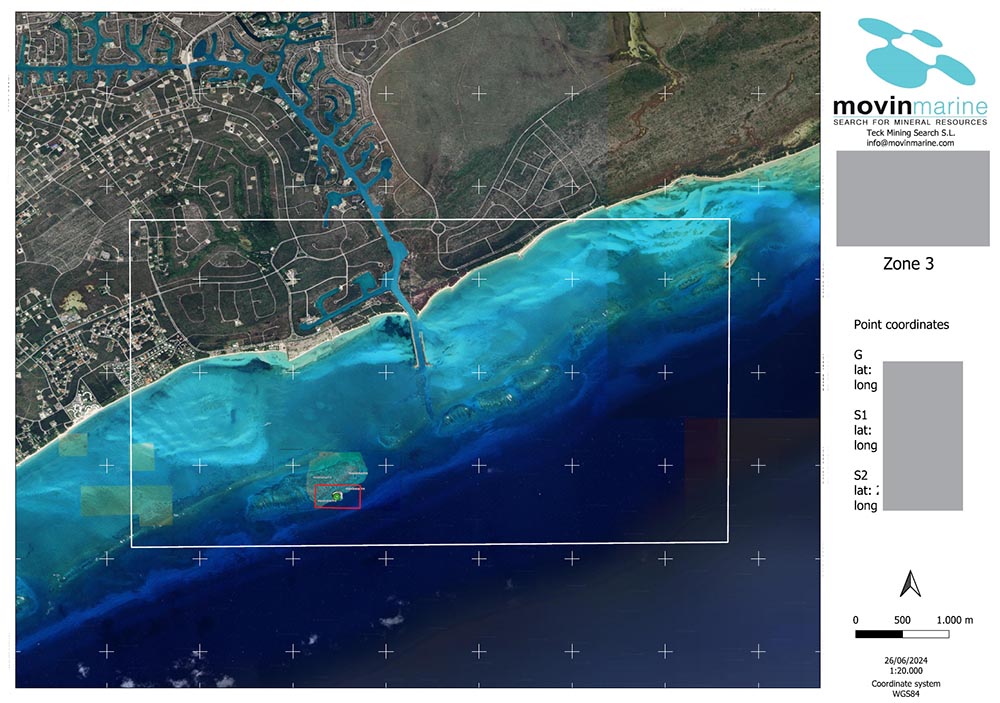
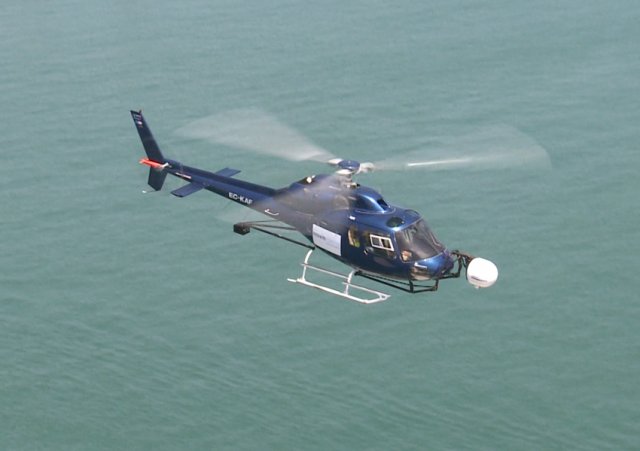
Operating from helicopter or fixed-wing aircraft platforms, the M2® Airborne Radar can efficiently survey extensive coastal, marine and continental areas within reduced timeframes.
Acquired data is digitally processed to generate structured 2D and 3D subsurface representations, enabling archaeologists, historians and scientific teams to focus investigative efforts with greater precision before initiating excavation, diving operations or field campaigns.
Under suitable geological conditions, the system can analyze subsurface variations at significant depths, making it particularly valuable for underwater historical exploration and detection of structures buried beneath sediment layers.
International Experience in Historical Research Projects
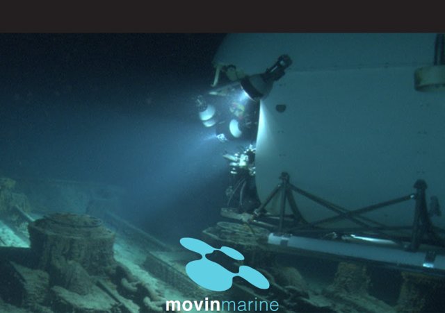
Movin’Marine has participated in internationally recognized historical and archaeological research initiatives, collaborating with respected scientific teams and heritage specialists.
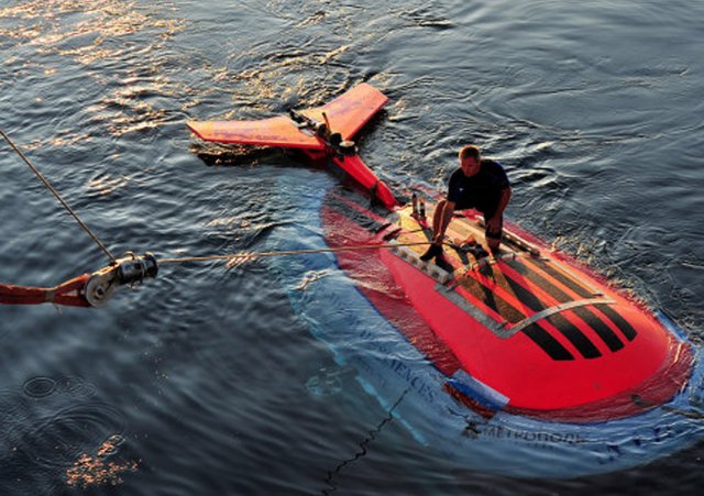
Notable engagements include expeditions related to Titanic exploration, colonial shipwreck investigations and archaeological studies conducted in collaboration with Dr. Zahi Hawass in Egypt.
These projects reinforce the scientific reliability of our methodology and demonstrate our ability to contribute meaningful data to historically significant research initiatives.
Request a Technical Exploration Assessment
Tell us which resource you need to locate: gold, copper, rare earths, gas, oil, groundwater, or archaeological remains.
Our international team and Radar M2® technology enable us to deliver fast, accurate, non-invasive results anywhere in the world. We are ready to review your project and provide you with a clear, reliable report.
All information is handled with strict confidentiality.
Perú
Rolando Suaña
(+51) 997122226
rsuana@movinmarine.com
Bolivia
Brasil
Pablo Cejas
+55 31 99258-9886
pablo@movinmarine.com
Spain
+34 972 25 50 92
jcasellas@movinmarine.com